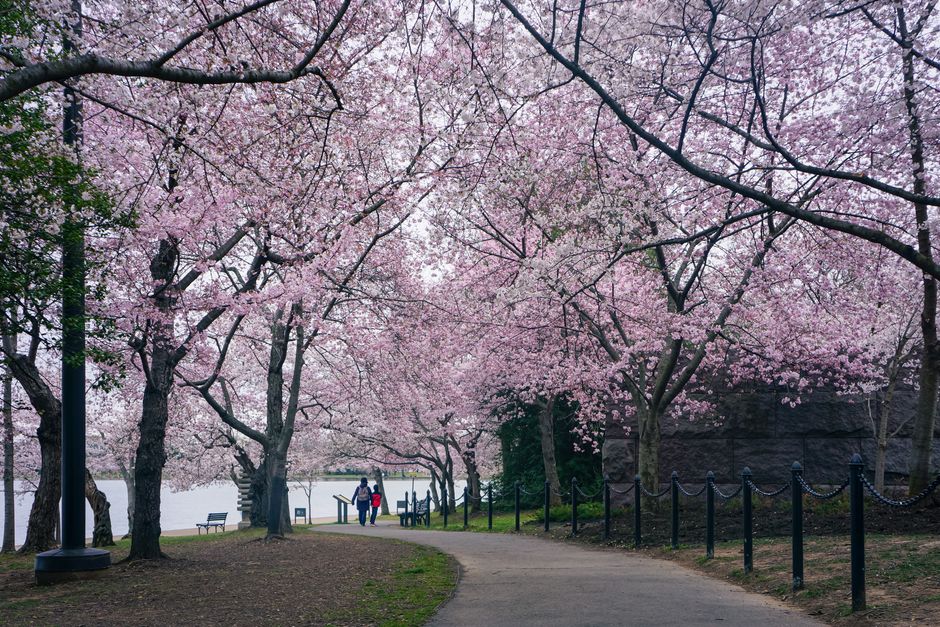
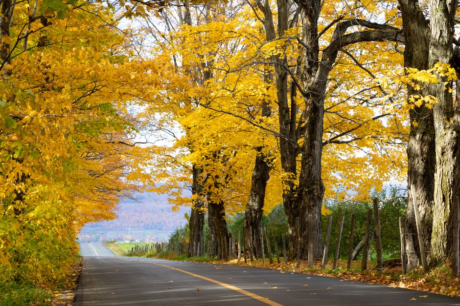
A Vermont foliage drive works best when you leave room to stop. Forested slopes provide the backdrop, but the pleasure comes from moving between river valleys, mountain passes and open farmland, then stepping outside to notice the colors. These fall foliage road trip ideas in Vermont help you choose a manageable route rather than race across the state. Pick one region as your starting point, keep another option for changing weather, and give each driving day a purpose beyond reaching the next town.
Plan around changing color
Autumn does not arrive everywhere at once. Northern areas and higher elevations generally change earlier than southern valleys, but weather can shift the pattern. A calendar gives you a starting point, not a promise. Look at current foliage reports from Vermont’s official tourism service before deciding which direction to drive. A colorful valley can be more rewarding than a mountain road already past its brightest stage.
Choose accommodation with access to several landscapes. A base near a valley and a mountain corridor gives you alternatives without repacking every morning. Book ahead if your dates are fixed, especially around weekends, but keep individual outings flexible. On a clear day, prioritize broad views; in low cloud, concentrate on riverside roads and woodland walks where you can enjoy leaves up close.
Route 100 through the Mad River Valley
Route 100 is a useful backbone for a first Vermont foliage trip because it follows the Green Mountains through a succession of valleys and communities. Rather than attempt its whole length, focus on the stretch around Waterbury, Waitsfield and Warren. You get a satisfying mix of wooded hillsides, working landscapes and village stops without needing to cover the entire state.
Make Waitsfield or Warren the center of an unhurried day. Follow the main road, use signed public parking when exploring villages, and choose one established walking area for a longer break. Open fields give you distance from the trees, making it easier to appreciate bands of color across the slopes. River settings offer a different perspective, with fallen leaves and reflections close at hand.
Adding a mountain crossing
Route 17 over Appalachian Gap can add a more demanding mountain segment to a valley trip. Expect bends, gradients and a different pace from the valley road. Check conditions before setting out, and keep this optional if visibility is poor or anyone dislikes winding drives. You do not need to cross a pass to have a memorable foliage day.
Stowe and Smugglers’ Notch for dramatic scenery
Stowe suits travelers who want mountain scenery with a convenient base for meals and supplies. Route 108 leads toward Smugglers’ Notch, where the landscape becomes more enclosed and rugged. Forest, rock and steep slopes create a different experience from the broad farmland views farther south. Plan a separate outing for this corridor rather than adding it to an already crowded driving day.
The road through the notch is narrow and winding, and access is seasonal. Before departure, consult Vermont’s official road information and check restrictions that apply to your vehicle. Drivers of motorhomes or vehicles towing trailers should confirm suitability before approaching. If the road is closed, follow an established alternative rather than a navigation app’s suggested shortcut.
Park only in designated areas and continue on foot where access is permitted. A short woodland walk can be more absorbing than another drive through the same scenery. Wear shoes with grip: wet leaves can conceal uneven stones and roots. If parking is full, move on instead of waiting in the roadway.
Lake Willoughby and the Northeast Kingdom
For a route shaped by water and steep surrounding slopes, consider the Lake Willoughby area in northeastern Vermont. Route 5A runs along the lake’s eastern side, giving this outing a different character from a village-focused drive. The contrast between open water and wooded mountains makes it appealing even when the foliage is uneven.
Build the day around the lake and a few nearby communities rather than combining it with distant southern destinations. Bring a picnic and use an established public access area where stopping is allowed. Shoreline access is not continuous, so avoid treating every opening between trees as an invitation to park or walk down to the water.
Quieter roads still need careful planning. Download maps before leaving reliable service, keep enough fuel for your chosen route, and identify a meal stop in advance. If cloud hides the higher slopes, look for color along lower roads rather than driving farther in pursuit of a perfect view.
Southern Vermont between Manchester and Bennington
Southern Vermont is a practical choice if you are entering from the south or want a compact trip with less repositioning. The Route 7A corridor between Manchester and Bennington offers valley scenery, villages and mountain backdrops. It also provides an alternative when you prefer gentler driving to a day of mountain passes.
Choose a short section and explore it carefully. Stop in a village, find a public walking route, and notice the changing views across fields. Covered bridges can be appealing detours, but they are working parts of the road network. Use nearby legal parking, stay clear of traffic, and respect private land around the approaches.
Build a realistic itinerary
For a short break, stay in one region. With a longer trip, combine neighboring areas and use the transfer between bases as a scenic day. Moving accommodation constantly eats into time you could spend outdoors. A useful daily structure is:
- Morning: drive the scenic section that matters most to you, with a legal stop for a walk.
- Midday: pause in a village for food, supplies and a break from concentrating on the road.
- Afternoon: choose one additional viewpoint or walking area, then return before tiredness takes over.
Allow more time than the map suggests. Slow traffic, roadworks and full parking areas can interrupt even a modest route. Set a turnaround point before leaving so that another photo stop does not become an unexpectedly long return drive after dark.
Keep the trip comfortable and considerate
Pack layers, a waterproof jacket, drinking water and sturdy footwear. Keep a dry layer accessible rather than buried under luggage. Mountain weather can feel very different from conditions in town. Choose walks according to the forecast and your ability, and check official land-manager notices before heading onto trails.
For photographs, pull completely into a permitted parking space before reaching for your camera. Never stop in a travel lane or block a driveway for a view. Stay outside farm fields unless access is explicitly allowed, carry out picnic litter, and give residents room to go about their day.
Before each outing, check Vermont’s official tourism updates, state park information and the state’s road-condition service for current access details. Then let the landscape guide the finer choices. If a riverside walk is beautiful, stay longer; if a mountain is hidden, enjoy the valley. A good itinerary leaves enough space to appreciate what is actually in front of you.